
13/10/2025
Share:
13/10/2025
Share:
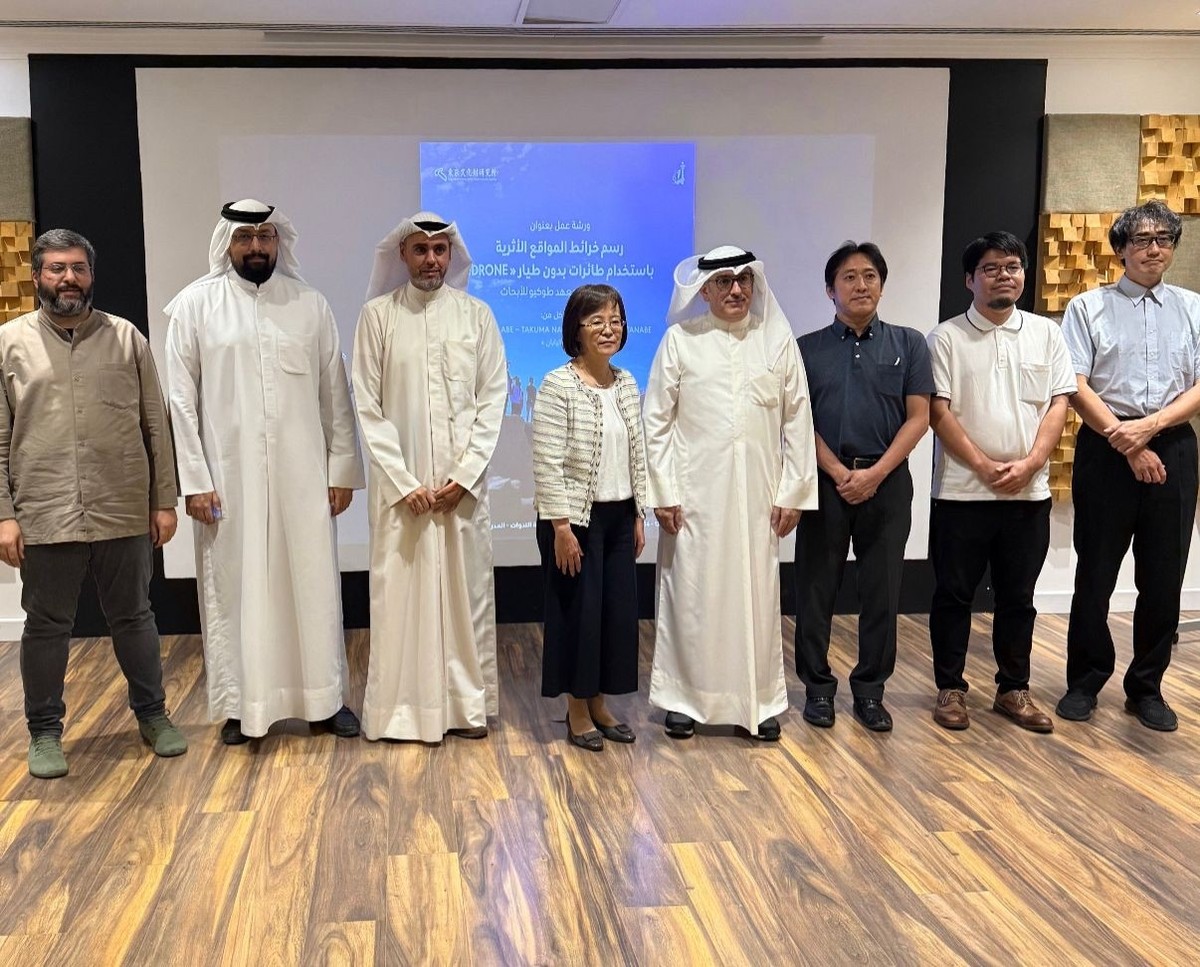
KUWAIT CITY, Oct 13: The National Council for Culture, Arts and Letters (NCCAL), organized a workshop on Sunday, in cooperation with the Tokyo National Research Institute for Cultural Properties, on mapping archaeological sites using drones. NCCAL Assistant Secretary-General for Antiquities and Museums Mohammad bin Redha told KUNA that the three-day workshop is part of the council’s commitment to developing modern archaeological research tools and methods. He added that the workshop aims to share experiences and discuss best practices for using drones in the field of archaeology, and to address the technical and ethical challenges associated with them.
This serves the council’s goals of protecting and preserving cultural heritage for future generations, he said. Bin Redha pointed out that tapping the Japanese expertise in this area is a valuable addition to archaeological work in Kuwait. The use of 3D imaging and drone technologies has become an effective tool for documenting, mapping, and monitoring archaeological sites without compromising their safety, he clarified. For his part, Professor of Archaeology and Anthropology at the Kuwait University Dr. Hassan Ashkanani told KUNA that the event aims to promote sustainable development while preserving cultural heritage in the State of Kuwait, particularly on Failaka Island, which has numerous archaeological and historical sites. Ashkanani stated that the purpose of cooperation with the Tokyo National Institute is to explore the use of drones for mapping and documenting archaeological sites. This technology contributes to the rapid and accurate collection of data on archaeological sites, helps create 3D models of hard-to-reach areas, and enables exploration without damaging sites, he indicated. (KUNA)